
Geographic Sales Heatmap Report
A full-colour sales density map for one trading region, with hotspot callouts and a written briefing pack.
DetailsColour-coded geographic sales heatmaps and regional density briefings for retailers and field teams who need to see where trade concentrates — street by street, postcode by postcode.
Alongside the flagship heatmap, clients often commission companion pieces that answer one sharp question.
A full-colour sales density map for one trading region, with hotspot callouts and a written briefing pack.
Details
Side-by-side density comparison of two or more sales territories to spot overload and under-cover pockets.
Details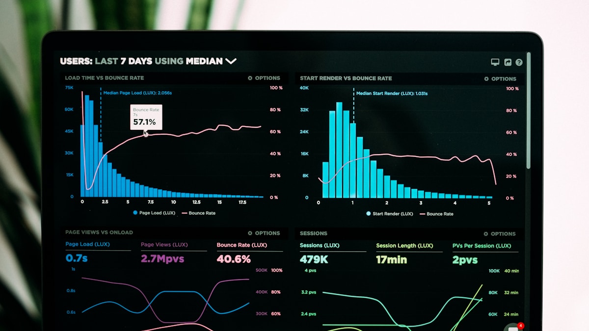
A lighter refresh of your existing heatmap using the latest quarter’s sales, for boards that meet every 90 days.
DetailsWe work with postcode sectors, local authority boundaries, and store catchments familiar to British retailers. Most engagements start with a short scoping call, a secure file transfer of anonymised sales rows, and a draft map for review before the final pack goes out.
Our studio story“They caught a cold pocket around our Solent stores that our spreadsheet averages had flattened. The reprint for the board pack arrived within the week.”
— Helena K., regional trading lead
A Territory Balance Review can settle overloaded routes — but not every uneven heatmap needs a boundary change.

A short checklist for anonymised UK sales files so your Geographic Sales Heatmap Report starts on time.